
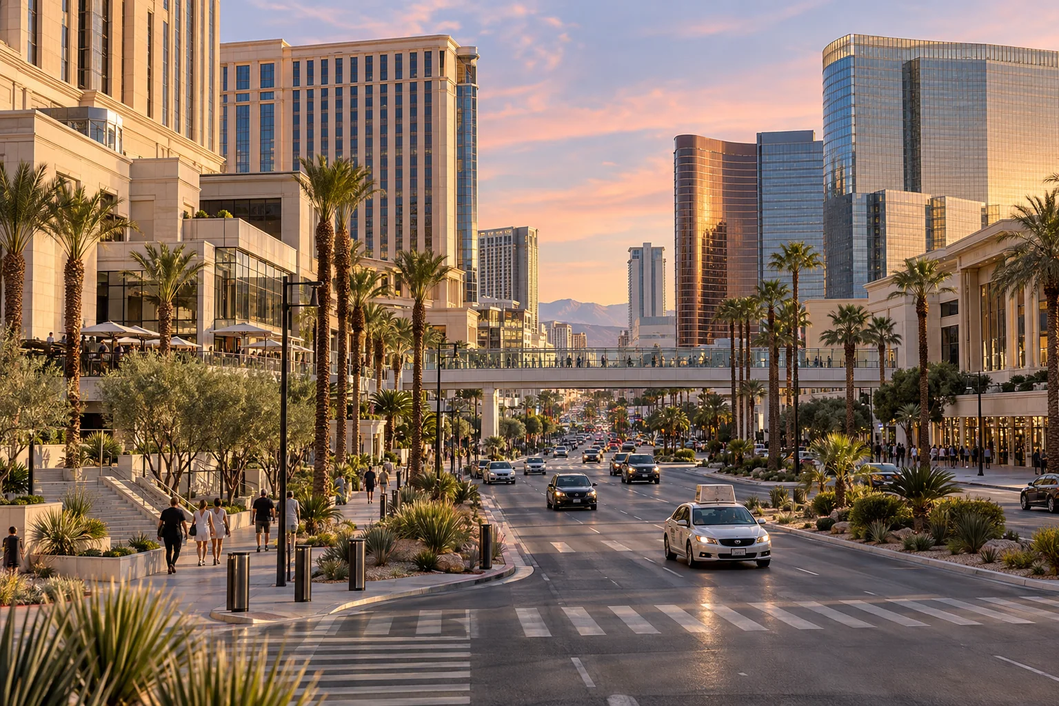
A resort in Las Vegas and one in Macao may share a casino profile, yet they meet very different cities. The Strip sits in Clark County's resort corridor; Cotai's newer hotels occupy reclaimed land beside Macao's older port city. Those settings shape how each property connects to streets, neighbours and public routes.
Start with the right map
The Las Vegas Strip is a Clark County resort corridor; Macao includes an older peninsula and the reclaimed Cotai area. A comparison must say whether it concerns the city, the wider territory or a particular resort district. A façade photograph alone cannot show whether the building adjoins a dense neighbourhood, reclaimed land, a major road or a planned resort zone.
For Canadian architects and planners, the first step is familiar: match the property address to the authority that plans and services the site. Clark County identifies a Resort Corridor for the Las Vegas Strip and administers the nearby unincorporated towns of Paradise and Winchester. Macao's government plans tourism and commercial uses through its own district framework. Those terms affect how a project relates to streets, public infrastructure and neighbouring buildings.
Read Las Vegas as a county resort corridor
The Las Vegas resort strip is commonly treated as part of the city, yet Clark County's planning and public-works materials name it as the Resort Corridor and list Paradise and Winchester as unincorporated towns administered by the county. For a design team, that distinction is practical. The resort parcel's land-use map, roadway jurisdiction and project approvals are part of the building context; the visitor's shorthand destination is not a substitute for them.
A corridor contains properties with individual entrances, parking structures, hotel towers, theatres and retail links. The road itself and the pedestrian route are also part of the experience. The correct unit for a design comparison may therefore be one resort's connection to Las Vegas Boulevard, its neighbouring parcel or the county's corridor plan. Not every hotel on the corridor uses the same site strategy or interior design.
Use a property address, not a skyline label
Before comparing a Las Vegas project with a Macao resort, record its parcel, planning authority, public approach, parking access and neighbouring uses. This prevents a city-limit assumption from being mistaken for an architectural condition. It also helps separate hotel or gaming functions inside the site from street-level infrastructure beyond the operator's control.
For a Las Vegas resort, identify
- whether the parcel is in the Clark County Resort Corridor
- the local jurisdiction and land-use designation
- the main vehicle and pedestrian approaches
- nearby resort parcels and intervening crossings
- which public realm features are controlled by the operator or county
Macao has an old port and a newer resort landscape
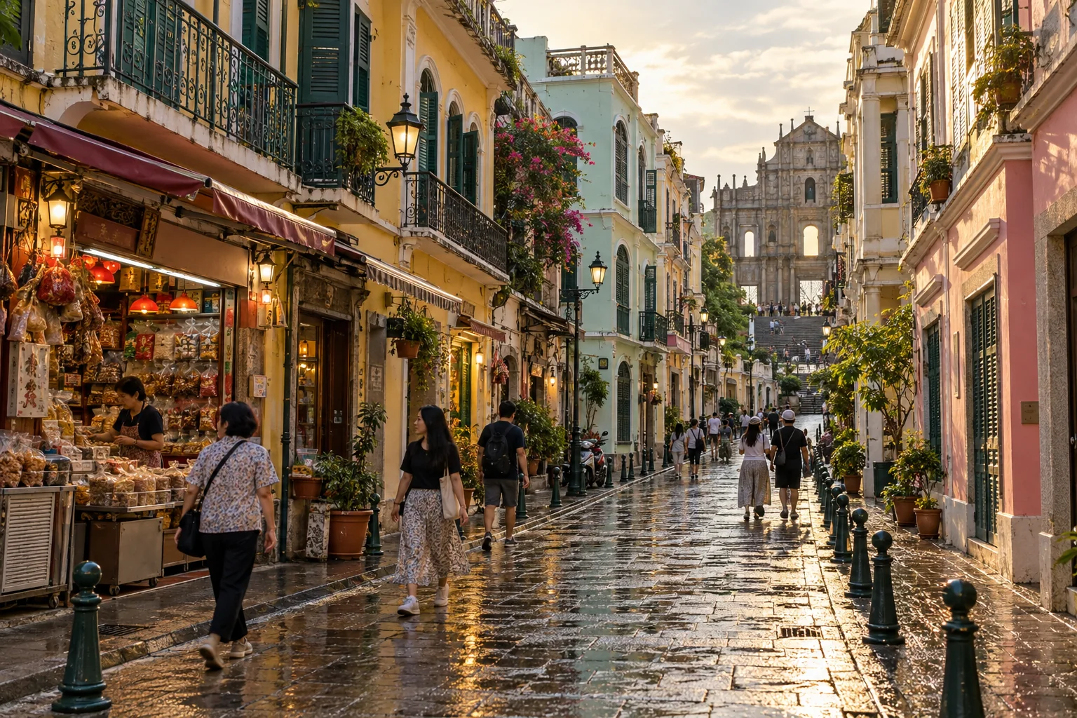
Macao's urban fabric cannot be reduced to Cotai's hotel complexes. UNESCO describes the Historic Centre of Macao as a group of 22 principal buildings and public spaces that records the structure of an old trading port. Its streets include Portuguese and Chinese residential, religious and civic architecture; UNESCO notes both traditions standing side by side and design features crossing between them.
Cotai is a different site story. The name joins Coloane and Taipa, whose connection widened through reclamation projects. An academic account distinguishes older casinos inserted into the dense peninsula from the larger Cotai resort zone. The two locations belong to one Special Administrative Region, but they create different conditions for a building: one meets existing streets and neighbours; the other belongs to a planned resort landscape on reclaimed land.
Connect the resort district to its surrounding city
Macao's 2025 tourism-development action plan refers to the Urban Master Plan 2020–2040. It calls for detailed planning of tourism zones, a waterfront historical tourism axis linking the Historic Centre with surrounding areas, and transit-oriented development for new tourism and commercial complexes. These are policy directions for the wider territory, not proof that a specific resort entrance or route has already been built as proposed.
A regional map should show the heritage district and Cotai together, then mark the specific resort, its approach and the transit or public connections relevant to that site. The map makes both continuity and distance visible without implying that the historic centre and a Cotai hotel share the same architectural programme.
Use the Venetian pair to compare a design motif
The Venetian Resort Las Vegas and The Venetian Macao carry related themes into different urban settings. Las Vegas Sands dates the Las Vegas property to 1999 and the Macao property to 2007. The company's history describes the first as a combination of hotel, shopping, entertainment and convention facilities, and the Macao resort as its first Asian convention-based integrated resort.
| Feature | Las Vegas property | Macao property |
|---|---|---|
| Urban context | Clark County Resort Corridor in the Las Vegas Valley | Cotai resort district on reclaimed land between Taipa and Coloane |
| Theme inside the resort | Grand Canal Shoppes, painted sky ceiling, bridges and gondola ride | Indoor canals, Venetian-style bridges, painted sky and gondola ride |
| Planning question | How does the hotel, retail and entertainment complex meet the Strip and adjacent parcels? | How does the resort link to Cotai routes and the wider Macao tourism network? |
The operator's own descriptions establish the shared canal and gondola imagery. They do not make the properties interchangeable. The surrounding street network, terrain, development history and planning framework remain different. A visitor can recognize the borrowed Venetian reference inside both resorts while encountering a different city outside each threshold.
Distinguish a themed interior from a city plan
A simulated canal, piazza or European façade is one layer of a resort's design. The property brief, circulation and commercial programme place it within the site; they do not determine the character of the surrounding neighbourhood. In Macao, the distinction is especially visible because Cotai's resort architecture sits alongside the older peninsula and a protected historic centre with a documented Chinese-Portuguese urban heritage.
Compare routes as well as facades
A façade comparison can record height, materials, entrances and skyline presence, but a resort also works through a sequence of routes. Guests arrive from parking, taxis, transit or another hotel; event audiences may queue at a theatre; staff and suppliers need separate access. On a corridor parcel, a road crossing can be part of the trip. On a Cotai site, the connection to other resorts and district routes may matter as much as the internal lobby.
Macao's planning action plan makes pedestrian wayfinding, barrier-free facilities, public transport and visitor-flow dispersion part of its wider tourism strategy. Clark County's Resort Corridor materials provide the local planning frame for the Las Vegas side. These sources discuss public infrastructure at different scales; they do not tell us how quickly a guest reaches a casino floor or whether a design changes gambling behaviour.
Record the same route at each property
- start point and travel mode
- public entrance and first decision point
- hotel, retail, event and gaming destinations
- crossings, level changes and accessible alternatives
- public infrastructure versus operator-controlled space
- date and phase shown on the plan
The difference between two properties may occur at a parcel edge, a public street, a covered connection or a controlled interior route. Mapping that location gives a Canadian project team a specific planning comparison without treating either city's image as a transferable design.
Las Vegas and Macao: comparing casino-led development
Carlos Balsas's peer-reviewed comparison of Las Vegas and Macao examines their urban-development histories, locations, entertainment agendas and planning challenges. The comparison describes casino-led development within two different territories and histories, rather than treating one city's projects as direct replicas of the other.
| Layer | Las Vegas | Macao |
|---|---|---|
| Authority | Clark County Resort Corridor and local parcel jurisdiction | Macao SAR planning districts and current tourism plans |
| Urban backdrop | Resort corridor in the Las Vegas Valley | Historic peninsula, dense urban fabric and newer Cotai district |
| Property context | Named resort, site plan, entrances and links to the Strip | Named resort, land context, links to Taipa/Coloane and district routes |
| Project documentation | Project description, drawings, dated photographs and access map | Project description, planning record, heritage context and access map |
| Comparison limit | That a thematic resort represents all of Las Vegas | That Cotai represents all of Macao or its historic centre |
A dated site map beside each resort plan makes it possible to compare the Venetian pair as buildings and visitor routes. Their shared motif does not mean the two districts developed in the same way. Each caption identifies the property, date and map scale.